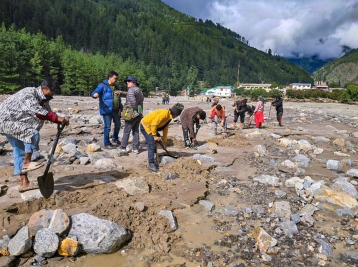
A team of geological experts has explained how a temporary lake came into existence in the Bhagirathi river after the devastating flashfloods that hit Uttarkashi’s Dharali village on August 5, causing widespread destruction in the nearby Harshil town.
According to the experts, heavy rainfall activated a local stream called Telgad near the Army camp in Harshil. The sudden gush of water, along with a huge amount of debris, flowed into the Bhagirathi river, creating a fan-shaped deposit of sediments. This natural barrier blocked the river’s original channel, leading to the formation of a temporary lake about 1.5 km long and 12–15 feet deep.
The flooding submerged parts of the national highway and a helipad, while also threatening Harshil town. It reshaped the river’s topography — eroding sand dunes on one side and depositing fresh sediment on the other — which exposed vulnerable portions of the town. The Army camp suffered severe damage, with nine personnel, including a junior commissioned officer, reported missing.
The disaster left one confirmed dead and 68 people missing, according to officials.
During a field inspection on August 12, the geological team found that the left bank of the Bhagirathi was blocked by a water-soaked alluvial fan. Its weak structure made it unsafe to use heavy machinery like JCBs for clearance.
Given the risk, experts devised a step-by-step plan to gradually release the trapped water. They recommended digging small diversion channels, 9–12 inches deep, and opening the outflow in three to four stages to prevent sudden downstream flooding.
Acting on this plan, the State Disaster Response Force (SDRF) and the Irrigation Department began work under the supervision of Uttarkashi District Magistrate Prashant Arya and Inspector General (SDRF) Arun Mohan Joshi. Over two days of careful efforts, the teams successfully initiated controlled drainage of the temporary lake, reducing the immediate threat to Harshil and surrounding areas.


